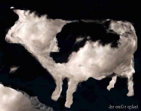
Image Art: Cloud Cow
This post represents another in my speculative series on weather modification. In this post I examine the possibility that clouds have "tipping points", and can be made to rain if those points can be determined, and appropriate energy applied to the cloud.
When I see a cloud it's hard for me to imagine how something so massive can stay afloat. Clouds if they could be placed upon a scale are quite simply enormously heavy - weighing dozens, and even thousands of tons. The vast majority of this mass is made up of water, followed by particulate matter such as dirt, salt, and organic materials.
For this reading I want the reader to visualize "the cloud" as an airborne mountain - which has many peaks, and valleys. The peaks, and valleys, however shouldn't be thought of in terms of height, but instead probabilities. Each cloud in effect constitutes a massive pattern of wave forms - and therefore unrealized potentials for collapsing those patterns into instances of rain. Some areas within clouds hold high probabilities for precipitation, while within the same cloud other areas hold low potential for rain.
A cloud in effect is an uneven mountain of probabilities for precipitation.
The avalanche effect.
Again, all this is pure speculation, and I've never heard it mentioned before so I might be wrong, yet from simple observation over many decades I suspect I'm correct. I have noticed how one stroke of lightning will generate one sonic boom (i.e., clap of thunder), and within moments rain begins to fall. Perhaps it's just a sequence error in my perception? Perhaps rain was already falling at a greater height, and in some way the falling rain triggered a lightning event? But I doubt that very much since rain falls like any other object in free fall at a known rate, and lightning is a much speedier event!
I believe the intense sound waves (shock waves) which radiate outward from a lightning bolt through the cloud forces water, and particulate matter to condense into rain. I also believe that this is one of the primary means by which rain droplets form.
Cloud Tipping.
It may be possible to analyze a cloud by Doppler radar and specialized software to determine those areas within the cloud that are most likely to precipitate. As mentioned above, each cloud contains areas of high probability, and low probability for precipitation. These areas can be seen as peaks, and troughs of a mountain range. When rain begins in higher probability areas the rain event spreads to other adjacent lower probability areas, in a means similar to an avalanche. Rain condensation furthers more rain condensation, and spreads throughout the cloud.
Thus it might be possible to find the "tipping points" of a cloud, in real time, and force a cloud into a rain event by triggering lightning within, or near the cloud. The lightning, as mentioned above, generates sonic booms, which triggers the primary condensation avalanche.
An analogue exist. In order to prevent random avalanches on mountains explosives are used to created sound waves to trigger avalances at high probability points on the mountain.
The use of explosives sounds a bit dangerous for cloud tipping, but perhaps the development of a portable particle beam generator for such an exercise would be possible?

No comments:
Post a Comment